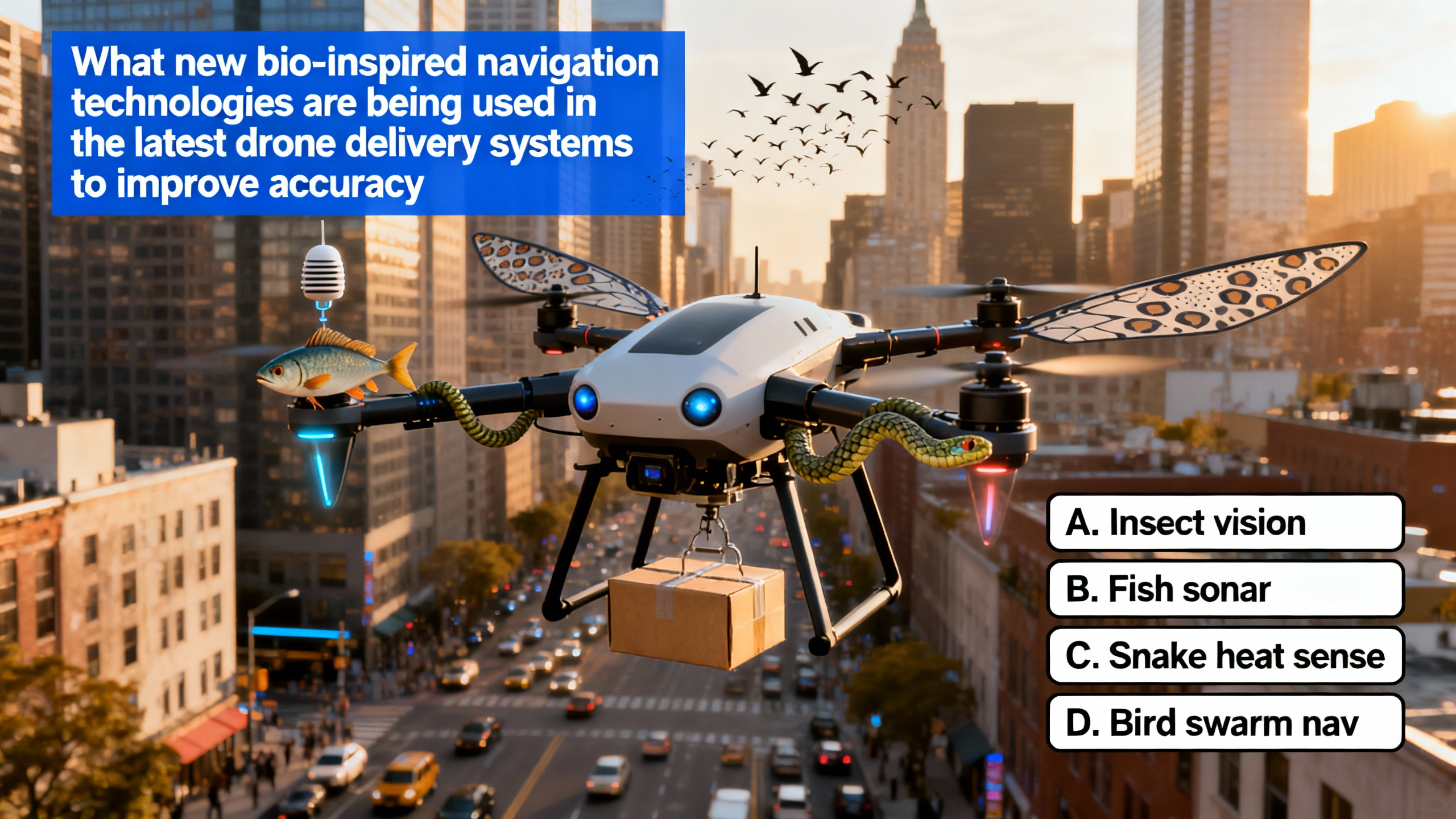
Bio - inspired Navigation Technologies Revolutionize Drone Delivery in Urban Environments
In recent years, the concept of drone delivery has captured the imagination of many. It holds the promise of rapid, efficient, and convenient delivery of goods right to our doorsteps. However, the reality of implementing drone delivery systems in complex urban environments has proven to be a significant challenge. Urban landscapes are filled with tall buildings that can block GPS signals, narrow streets that limit flight paths, and dynamic obstacles such as moving vehicles, pedestrians, and other flying objects. These factors have made it difficult for drones to navigate accurately and safely, often leading to delivery delays, inefficiencies, and even potential accidents.
To overcome these challenges, researchers and engineers have turned to nature for inspiration. The natural world is full of creatures that have evolved remarkable navigation abilities over millions of years. By studying and mimicking these biological systems, new bio - inspired navigation technologies are being developed and employed in drone delivery systems.
One of the key bio - inspired technologies is inspired by the navigation abilities of insects, particularly bees. Bees are incredible navigators. They can travel long distances from their hives to find nectar and pollen and then return safely. They use a combination of visual cues and an internal compass to achieve this feat. In the context of drone delivery, computer vision systems are being developed to mimic this behavior. These systems are equipped with high - resolution cameras on the drones. These cameras continuously capture the visual information of the urban landscape as the drone flies. The drones can detect and recognize visual landmarks such as rooftops, which often have distinct shapes and colors. For example, a building with a unique dome - shaped rooftop can serve as an easily recognizable landmark. Street signs are also important visual cues. A large, brightly colored street sign can help the drone determine its position along a particular street. Unique building facades, like those with elaborate architectural details, can also be used for navigation. By comparing the current view captured by the camera with pre - mapped visual information stored in the drone's memory, the drone can determine its position accurately. This is similar to how a human might use a map and compare it with the surrounding scenery to figure out where they are. Additionally, like bees' internal compasses that sense the Earth's magnetic field, some drones are equipped with magnetometers. The Earth's magnetic field is a reliable and consistent reference point. When GPS signals are weak or blocked by tall buildings, the magnetometer allows the drone to maintain a stable heading. For instance, if a drone is flying through a narrow alley between two skyscrapers where GPS is unavailable, the magnetometer can help it stay on course and adjust its flight path as needed. 
Another bio - inspired approach is based on the echolocation abilities of bats. Bats are nocturnal animals that need to navigate and hunt in the dark. They emit high - frequency sounds, which are inaudible to humans, and use the echoes that bounce back from objects to create a mental map of their surroundings. In the world of drones, ultrasonic sensors are now being used to replicate this echolocation ability. These sensors emit ultrasonic waves, which are similar to the high - frequency sounds emitted by bats. When these waves hit a nearby object, such as a power line, a tree, or another drone, they bounce back. The sensor then measures the time it takes for the waves to return. Based on this time measurement, the drone can calculate the distance to the object. In complex urban settings, there are numerous small and hard - to - detect obstacles. Power lines, for example, are thin and can be difficult to spot visually, especially from a distance. The echolocation - like technology provided by ultrasonic sensors enables the drone to detect these obstacles in real - time. Once an obstacle is detected, the drone can quickly adjust its flight path to avoid a collision. This significantly enhances the safety and accuracy of drone delivery, as it reduces the risk of the drone crashing into objects and causing damage to itself or the surrounding environment.
Moreover, the collective behavior of birds in flocks has also inspired a new form of navigation for drones. Birds in a flock fly in harmony, with each bird adjusting its flight based on the movements of the others. This collective behavior allows the flock to move efficiently and avoid collisions. In a drone swarm delivery system, multiple drones can communicate with each other using wireless communication technologies. They can share information about their positions, velocities, and the presence of obstacles. For example, if one drone detects an obstacle in its path, it can quickly send a signal to the other drones in the swarm. The other drones can then adjust their flight paths accordingly to avoid the obstacle. This bio - inspired swarm intelligence not only improves the accuracy of individual drone deliveries but also increases the overall efficiency of the delivery system in complex urban environments. By coordinating their movements, the drones can optimize their delivery routes. For instance, they can divide the delivery area among themselves in a more efficient way, reducing the overall time and energy required for deliveries. This is similar to how a group of workers can divide tasks among themselves to complete a project more quickly and effectively.
However, the implementation of these bio - inspired navigation technologies is not without its challenges. Developing accurate computer vision systems for drones is a complex task. The urban environment is constantly changing, with new buildings being constructed, street signs being replaced, and the appearance of landmarks being altered. The computer vision algorithms need to be able to adapt to these changes and still accurately recognize visual cues. Additionally, the magnetometers on drones need to be calibrated regularly to ensure their accuracy, as the Earth's magnetic field can be affected by local magnetic anomalies. In the case of ultrasonic sensors, the range and accuracy of the sensors can be affected by environmental factors such as wind and temperature. Wind can distort the ultrasonic waves, making it more difficult for the sensor to accurately measure the distance to an object. Temperature can also affect the speed of sound, which in turn can impact the distance calculations. For drone swarms, ensuring reliable communication between the drones is crucial. Interference from other wireless devices in the urban environment can disrupt the communication signals, leading to miscoordination and potential collisions.
Despite these challenges, the potential benefits of bio - inspired navigation technologies for drone delivery in urban environments are immense. As these technologies continue to be refined and improved, they offer solutions to the challenges of accurate navigation, obstacle avoidance, and efficient route planning. In the future, drone delivery could become a more reliable and practical option. It could revolutionize the way we receive goods, reducing delivery times and costs. For example, in a busy city center, a drone could deliver a medical supply to a hospital in a matter of minutes, potentially saving lives. It could also reduce traffic congestion by eliminating the need for delivery trucks on the roads. In conclusion, bio - inspired navigation technologies, including those mimicking insects, bats, and birds, are truly revolutionizing drone delivery systems in complex urban settings and hold great promise for the future of logistics.